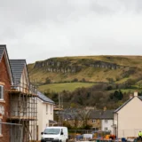
Land surveying is the technique of measuring and mapping out the dimensions and features of a piece of property. If you have a large piece of land then surveying it can be tricky.However, surveying a big piece of land is important for things like setting up construction projects, dividing property, and fulfilling legal requirements.
Knowing the exact boundaries and features of a property helps in making informed decisions on how to use the land and avoiding disputes. There are different types of surveys, each serving a specific purpose and these days, surveying has gotten very precise. In this article, we will go over several of the ways you can have a large piece of land surveyed.
1 – Pre-Survey preparation
Before you begin surveying a large piece of land, it’s important to be as prepared as possible so you can have an accurate survey done and be compliant with legal standards. Start by gathering all the property documents, such as deeds and previous survey reports. These documents often contain crucial information that can help define the scope of your survey.
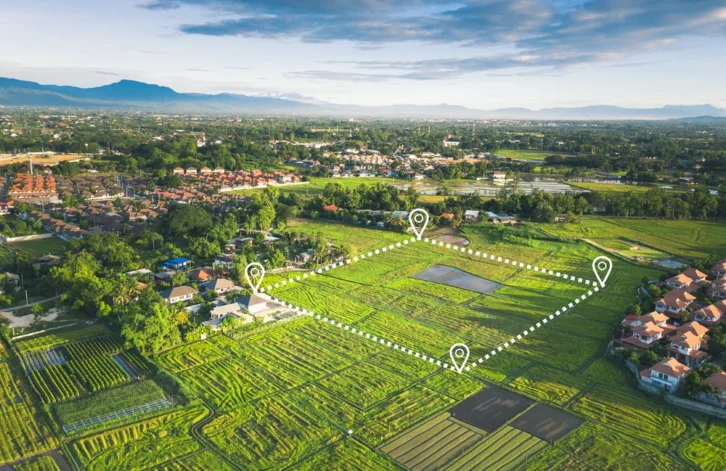
When it comes to choosing the right equipment, modern technology offers powerful tools for land surveying. One effective tool is a drone specifically designed for surveying work. Drones like those offered by coptrz.com provide a high-level overview of large areas quickly, which is especially useful for topographic mapping.
Preparing for your survey includes having clear goals determined ahead of time. Decide what specific information you need such as establishing boundary lines, documenting topographic details, or preparing a site for construction. Having clear objectives helps in selecting the appropriate survey methods and tools, so that the results are relevant and useful.
2 – Conducting the survey
Once you have prepared and planned your survey, the next step is to conduct the fieldwork. Start by visiting the site with all the equipment you’ll need for the task. Set up your tools according to the goals you’ve outlined in your plan. If you are using a drone, make sure it is calibrated and that the batteries are fully charged.
The fieldwork involves walking the property, using tools like GPS units, theodolites, and possibly even traditional tools like measuring tapes and flags to mark specific points. Take careful measurements and make sure to double-check your readings so you know they’re accurate.
3 – Post-survey follow up
After you finish the fieldwork, it’s time to work with the data you gathered. This part is important because it helps turn all the collected data into useful information that can guide decisions and help in reporting. Use surveying software to organize and check the data for any mistakes.
Also, make sure your survey follows local laws and regulations about land use and boundaries. You might need to submit your survey report to local authorities for their approval or registration. When you’ve done everything by the book it not only confirms that your work is valid but also helps avoid future legal problems about the property.